Cadastral Maps – The Gesher Galicia Map Room
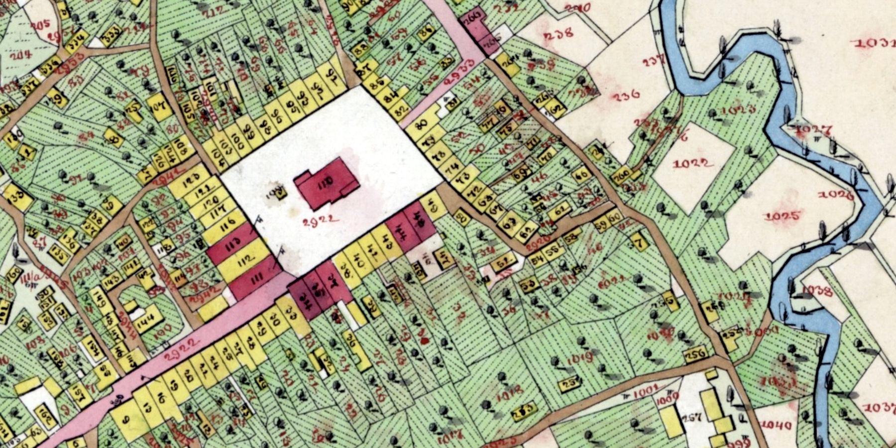
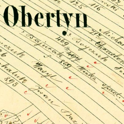
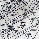
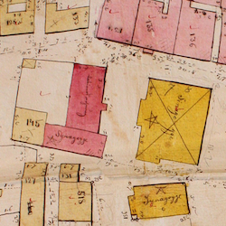
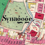
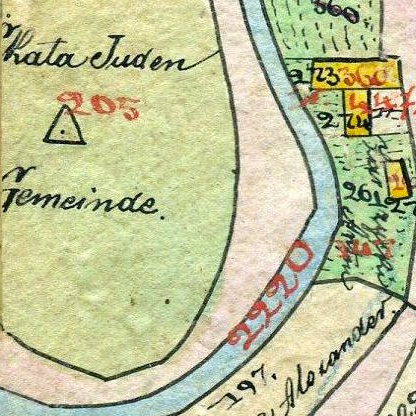
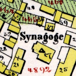
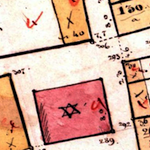
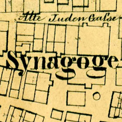
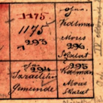
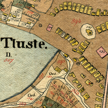
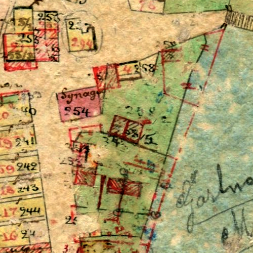
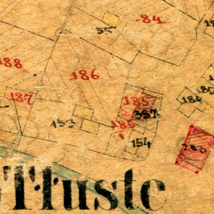
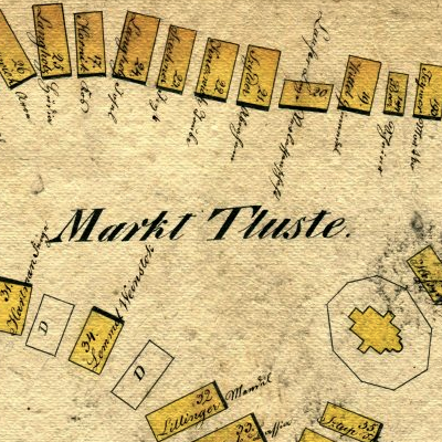
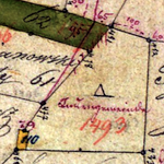
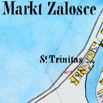
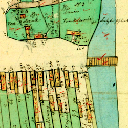
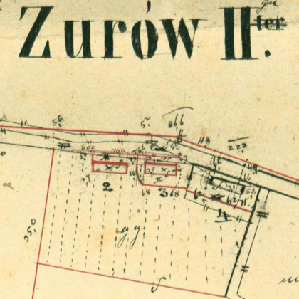
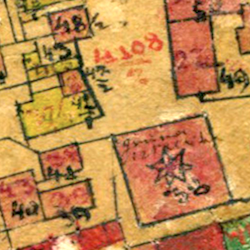
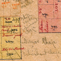
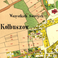
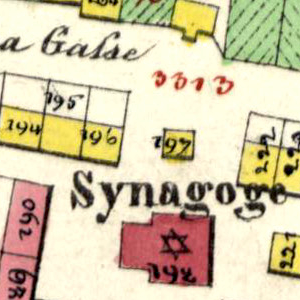
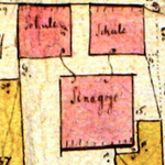
Cadastral maps record building and land parcel boundaries at high scale for tax purposes, and correspond to contemporary ownership registers which relate the parcel numbers to named owners and their residences, providing a key to identifying where individuals lived in the mapped settlement as well as some clues to their wealth and their businesses. The same registers and parcel numbering also highlight properties owned by local civil and religious communities, including town halls, houses of worship, hospitals, and cemeteries. Symbols and colors shown on the maps (and defined in historical map legends) represent many characteristics and purposes of buildings and land areas, giving valuable information about life in the settlements at the time of the surveys.
In the sections below, cadastral maps assembled by Gesher Galicia are searchable two ways: geographically (via an interactive Google Map) and alphabetically by town name (in the Habsburg-era Polish spelling). For more information about the remarkable engineering and cartographic achievement of the cadastral maps of historical Galicia, about Gesher Galicia's project to assemble and present these maps in a browsable online format, and about how to interpret and use these maps for family history and other research, see the References section in the Map Room.
A Map of Cadastral Maps in the Gesher Galicia Collection
The yellow area in the interactive map below represents the historical boundaries of the Kingdom of Galicia; you can pan and zoom the map to examine how Galicia once spanned modern southeastern Poland and western Ukraine. Within that area are pins which link to all of the maps currently available in the Gesher Galicia Map Room. Click on a pin and you will see the map title (place name and year of the map), the GPS coordinates of the town center, the type of map, and a hyperlink to the historical map itself. Map types are denoted by color: blue (preliminary field sketches), green (intermediate indication sketches), red (final-stage cadastral maps), and unnumbered (black). For more information about the types of cadastral maps, see the References section in the Map Room.
Alphabetical List of Galician Cadastral Maps in the Map Room
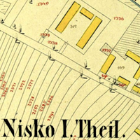
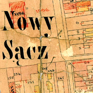
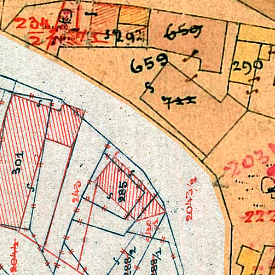
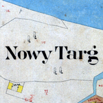
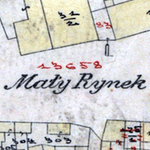
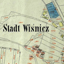
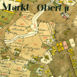
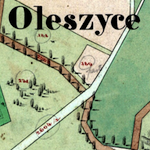
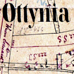
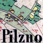
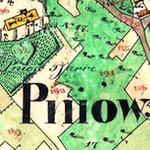
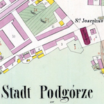
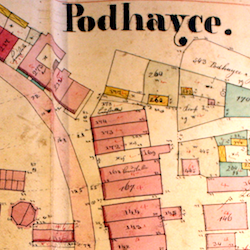
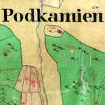
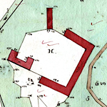
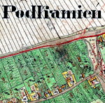
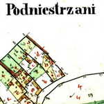
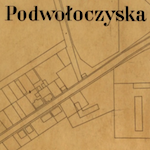
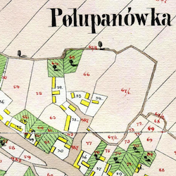
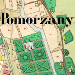
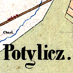
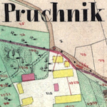
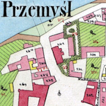
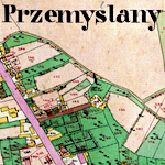
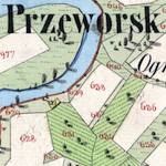
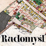
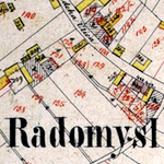
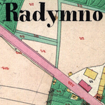
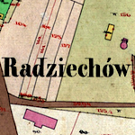
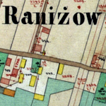
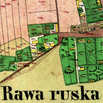
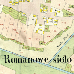
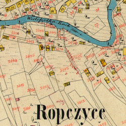
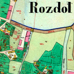
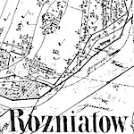
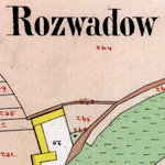
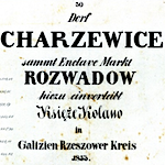
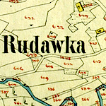
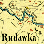
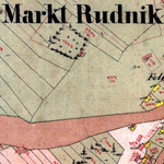
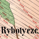
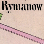
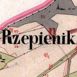
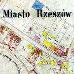
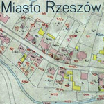
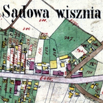
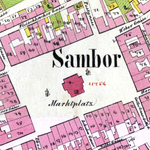
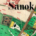
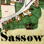
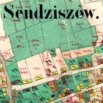
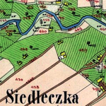
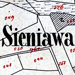
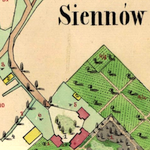
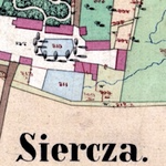
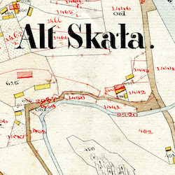
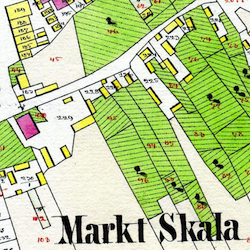
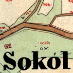
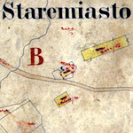
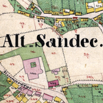
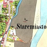
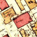
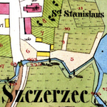
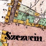
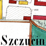
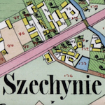
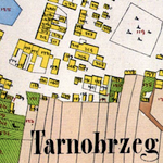
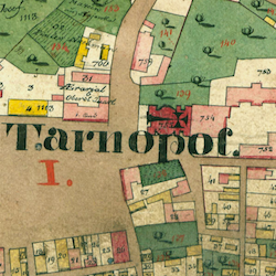
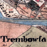
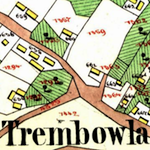
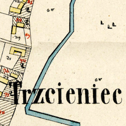
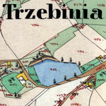
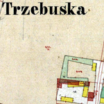
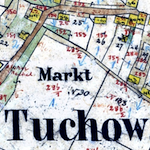
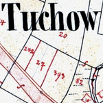
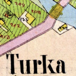
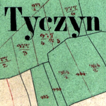
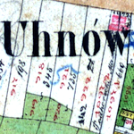
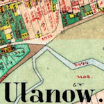
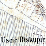
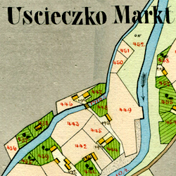
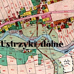
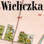
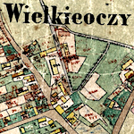
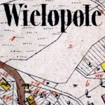
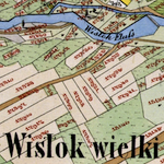
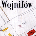
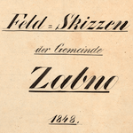
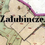
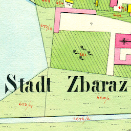
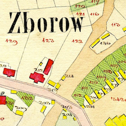
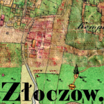
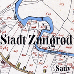
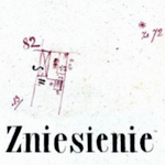
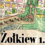
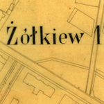
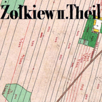
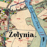
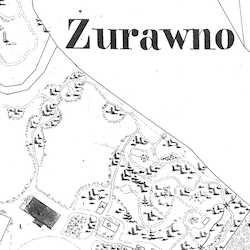
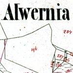
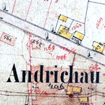
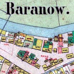
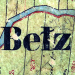
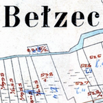
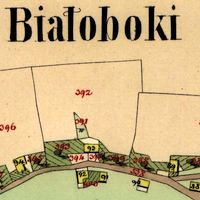
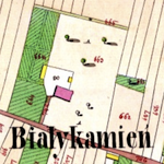
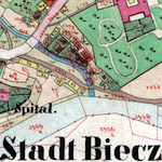
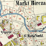
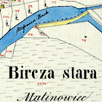
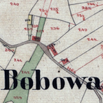
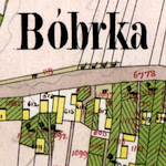
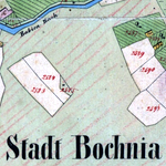
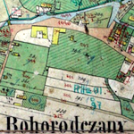
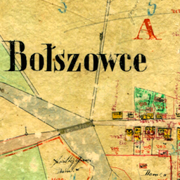
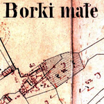
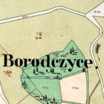
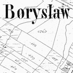
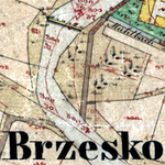
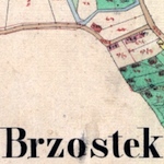
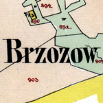
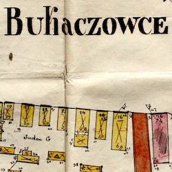
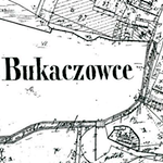
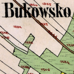
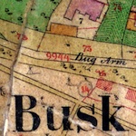
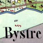
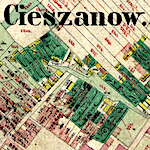
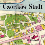
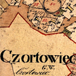
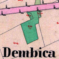
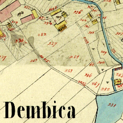
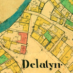
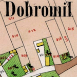
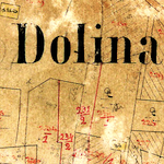
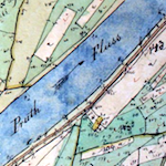
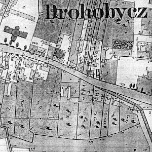
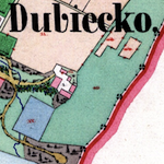
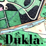
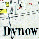
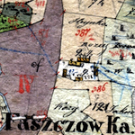
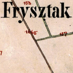
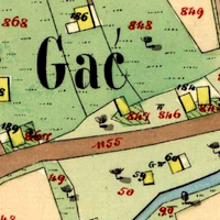
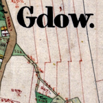
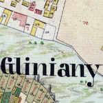
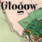
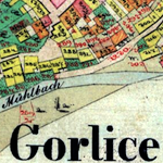
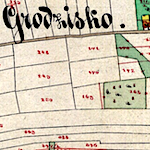
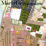
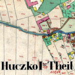
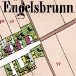
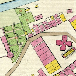
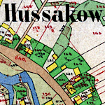
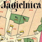
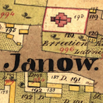
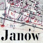
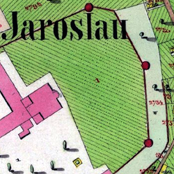
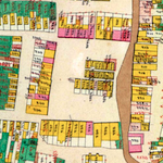
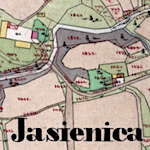
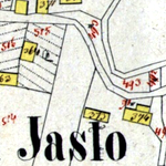
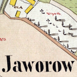
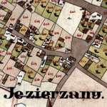
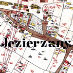
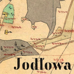
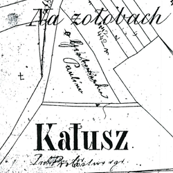
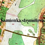
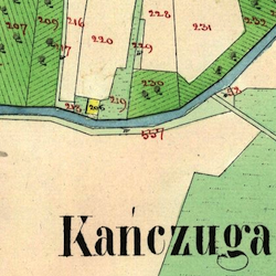
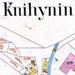
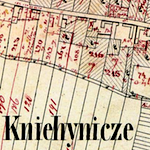
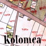
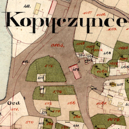
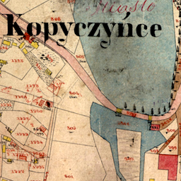
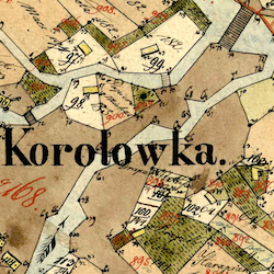
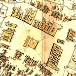
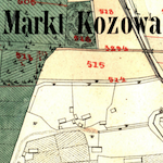
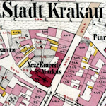
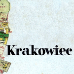
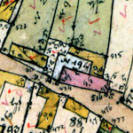
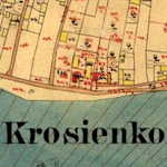
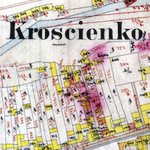
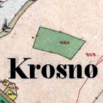
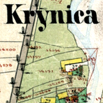
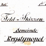
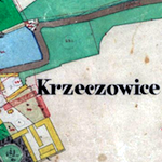
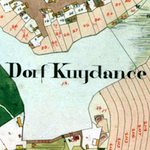
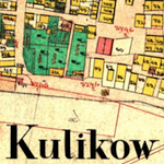
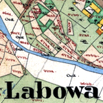
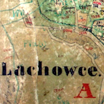
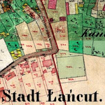
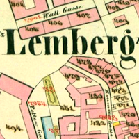
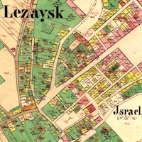
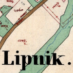
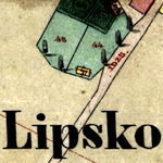
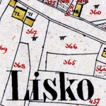
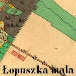
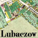
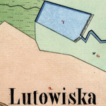
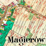
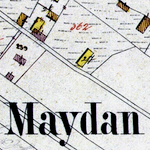
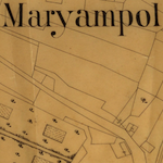
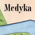
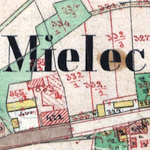
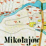
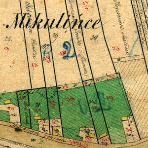
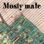
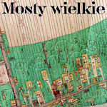
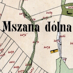
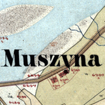
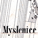
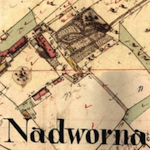
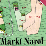
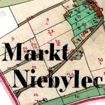
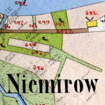
Every cadastral map currently in the Gesher Galicia collection is listed below, alphabetically by the historical Polish name of the place and the year the map was produced by the original surveyors, cartographers, and printers. You can click on the thumbnail map image or on the map title to open each map in a new tab or window.
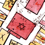
Beneath each map title is a series of icons which represents visible features of the map, including completeness, the type of map (preliminary field sketch, intermediate indication sketch, or final-stage cadastral map), and the presence of redline revisions, a market square, a Jewish synagogue and/or cemetery, a Christian church and/or cemetery, and a castle or manor house. The full series of feature icons is shown below; hover over or tap the icons to see an explanation of each one:
 This map is complete (all original sheets are shown).
 This map is incomplete (one or more original sheets are missing).
 This map is a composite of separate map records from different years and/or sources.
 This map is a black and white photocopy of the original record.
 This is a final-state cadastral map showing building and land parcel numbers.
 This is a preliminary field sketch showing house numbers.
 This is an indication sketch showing both house numbers and building parcel numbers.
 This is an unnumbered map showing building and land parcel outlines only.
 This map includes revisions to building and land parcels in red.
 This settlement has one or more structured market squares.
 This map shows one or more marked synagogues or other Jewish community buildings.
 This map shows one or more churches, monasteries, or other Christian community buildings.
 This map shows one or more Jewish cemeteries.
 This map shows one or more Christian cemeteries.
 This map shows a castle or manor building and grounds.
 This map was created for a special purpose.
The same hover or tap action works as well within the map list below. For information about the typical and unusual features of cadastral maps, see the References page in the Map Room.

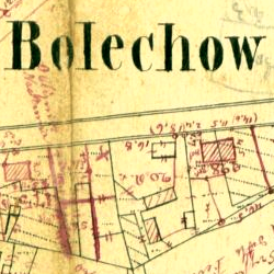
![Bolechów 1878 [w/Center]](bolechow-bolekhiv-1878-3/t2.png)


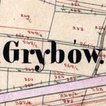
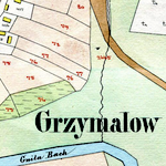
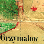
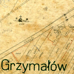
![Grzymałów 1861 [Rev.]](hrymailiv-grzymalow-1861-rev/t2.png)
![Jaryczów Nowy 1917 [Damage]](jaryczow-nowy-1917-damage/t2.png)
![Jaryczów Nowy 1917 [Names]](jaryczow-nowy-1917-names/t2.png)
![Nienadowa 1852 [1st Rev.]](nienadowa-1852/t2.png)
![Nienadowa 1852 [2nd Rev.]](nienadowa-1852-2/t2.png)