Street Maps and General City Plans – The Gesher Galicia Map Room
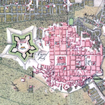
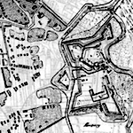
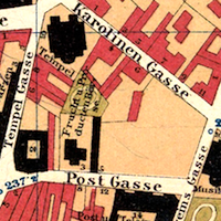
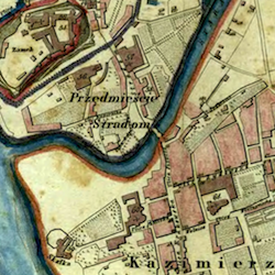
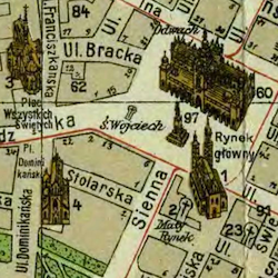
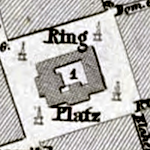
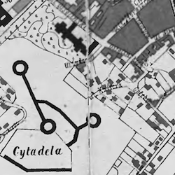
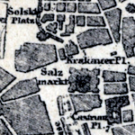
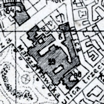
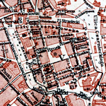
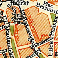
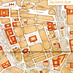
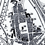
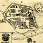
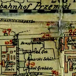
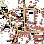
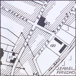
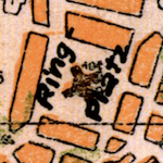
We view these maps more generally as "street maps", because they can provide an important bridge in family history studies between early cadastral maps and the modern era, specifically in locating where family residences and business were located during the "Austrian era" and the interwar period. Before World War I and in some cases even much later, vital and other records documented locations by house number, a unique number independent of street names in towns and villages as well as city districts. The transition to street addresses (with a number and the name of a street or square) occurred much earlier in cities than in smaller settlements, which makes these street maps valuable as a locator of family neighborhoods and sometimes specific buildings. As with cadastral maps, studying street maps can reveal interesting details about the expansion and evolution of cities over time, including when neighborhoods were built or extended, how suburbs were absorbed or when they acquired independent status, the introduction of light rail lines, the effects of fires and war damage, and more.
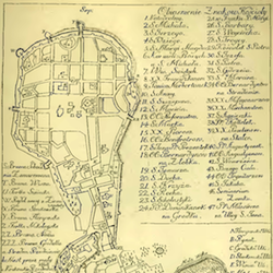
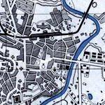
Broad interest in the cities of Galicia and Bukovina grew significantly in the 18th and 19th centuries in parallel with the growth of modern industry and strong urbanization; academic study of the characteristics and dynamics of cities followed quickly. The sampling of historical maps below provides an introduction, but a much larger collection of digitized historical maps of cities in Galicia and Bukovina spanning many more years is available in the Urban Media Archive of the Lviv Center for Urban History of East Central Europe; the Center's collection of digitized maps of Lviv (Lemberg, Lwów) numbers more than 60, dating from the early 17th century to the late 20th century. As is evident from the individual map descriptions here, a great many city street maps are available from the Polish Academy of Sciences and its digital library the Repozytorium Cyfrowe Instytutów Naukowych (RCIN). For links to these and other important resources for regional map research, see the Sources page in the Map Room.
The street maps and general plans in the Gesher Galicia Map Room are listed and linked below alphabetically by city, and then for each city the maps are listed chronologically. Some additional city street maps with unusual content are included in the Special Maps section of the Map Room.
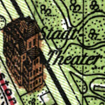
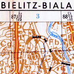
- Bielsko-Biała
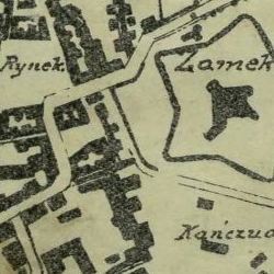
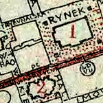
- Brody
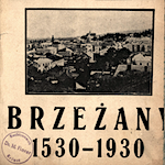
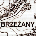
- Brzeżany
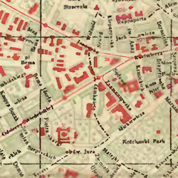
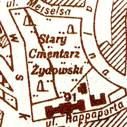
- Czernowitz (Chernivtsi)
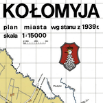
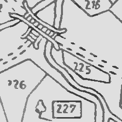
- Kołomyja (Kolomea)
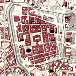
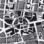
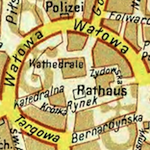
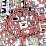
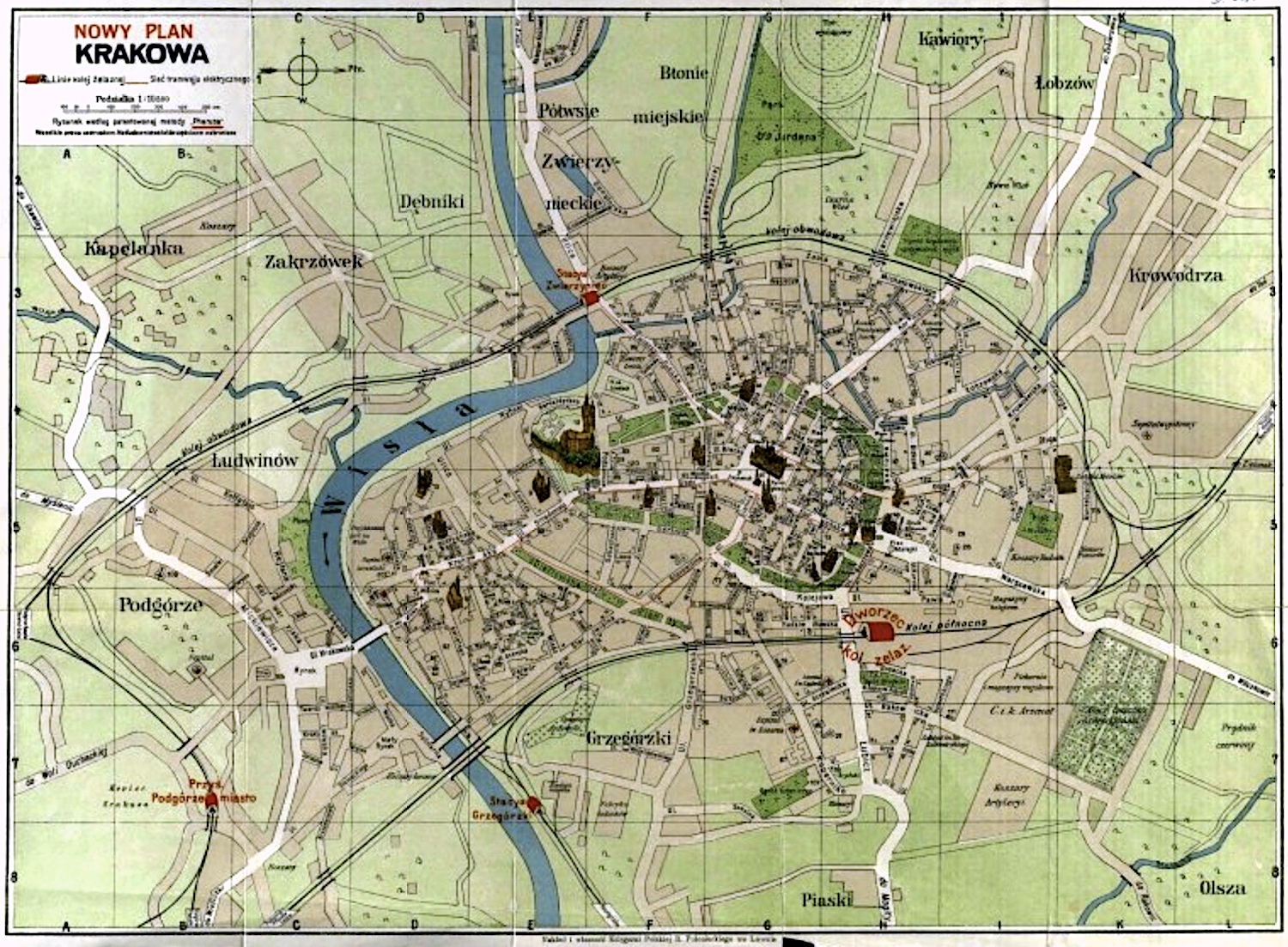
- Kraków
- Łańcut
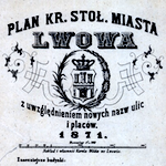
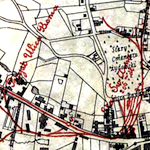
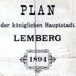
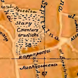
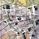
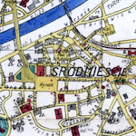
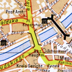
- Lemberg (Lwów, Lviv)
- Nowy Sącz
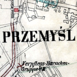
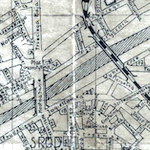
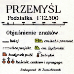
- Przemyśl
- Rzeszów
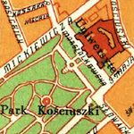
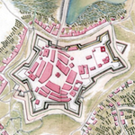
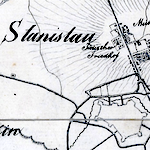
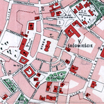
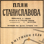
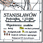
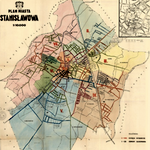
- Stanisławów (Ivano-Frankivsk)
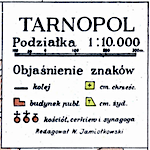
- Tarnopol
- Tarnów
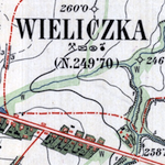
- Wieliczka
For more information about how to interpret and use these maps for family history and other research, see the References section in the Map Room.