Gesher Galicia Cadastral Maps for the POLIN Museum Resource Center

Gesher Galicia logo     POLIN Museum logo

A joint effort between Gesher Galicia and the Resource Center of the POLIN Museum of the History of Polish Jews, this project aims to place a durable paper copy of every cadastral map from the Gesher Galicia Cadastral Map Collection in the Resource Center for review by visitors researching their family towns in historical Galicia, and other historical research on the region. An agreement was struck in late 2014 for the joint project, with a planned timeline of five years covering an estimated 200 cadastral maps; the project has already met a key milestone, and progress continues.

Phase 1 Complete with Delivery of 45 Maps:

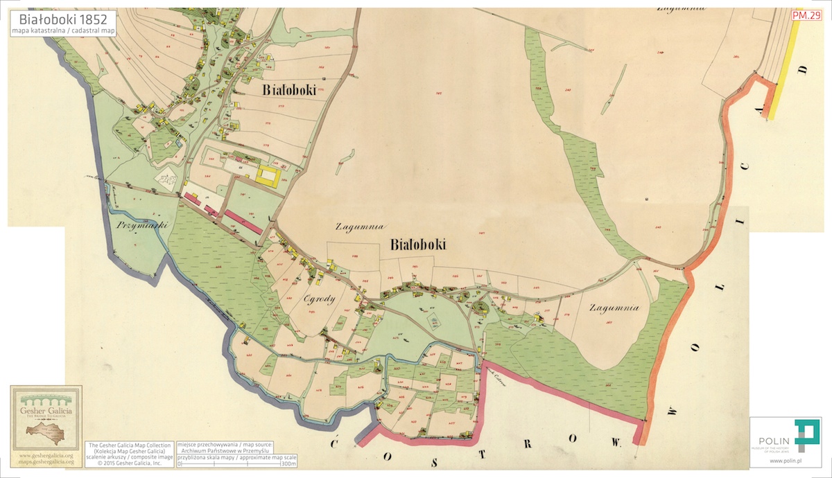
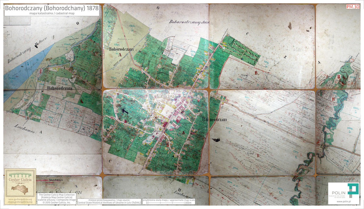
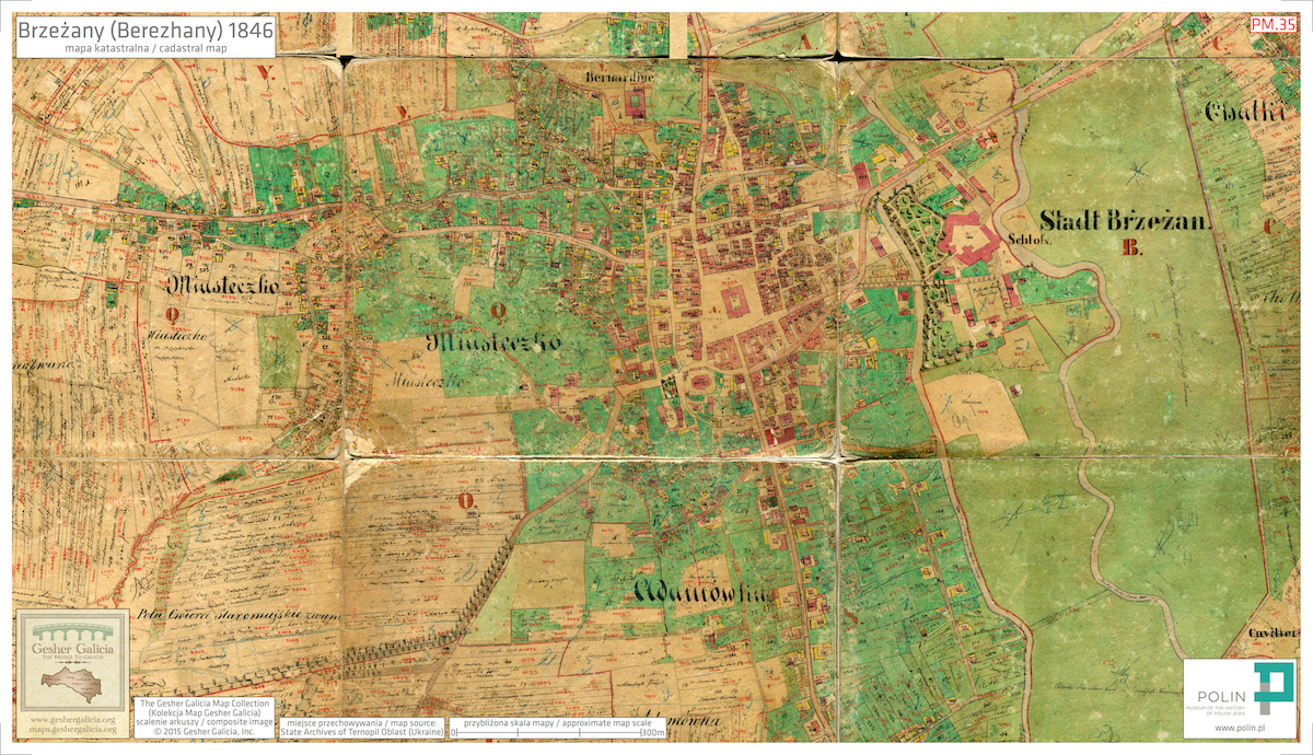
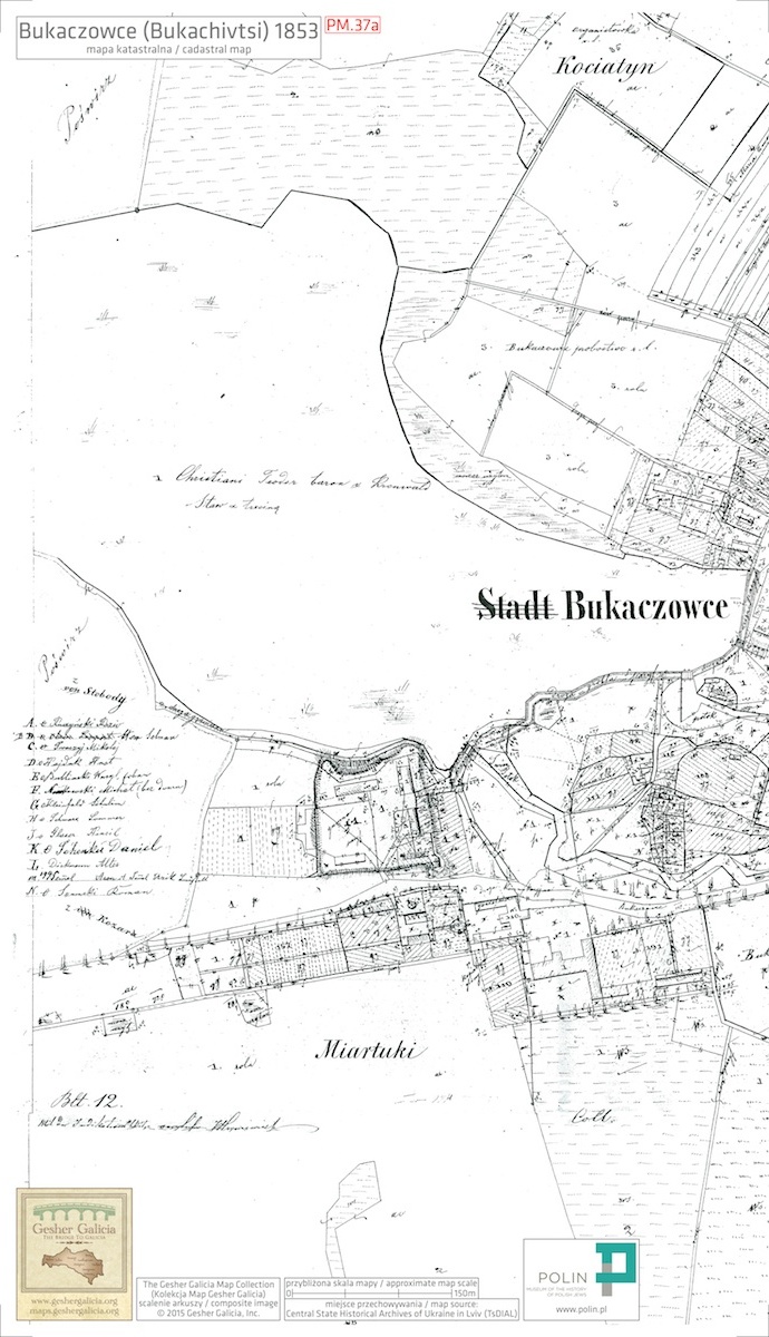
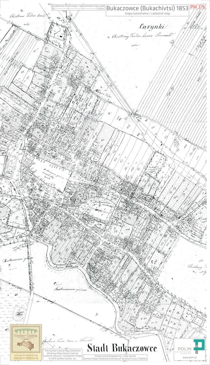
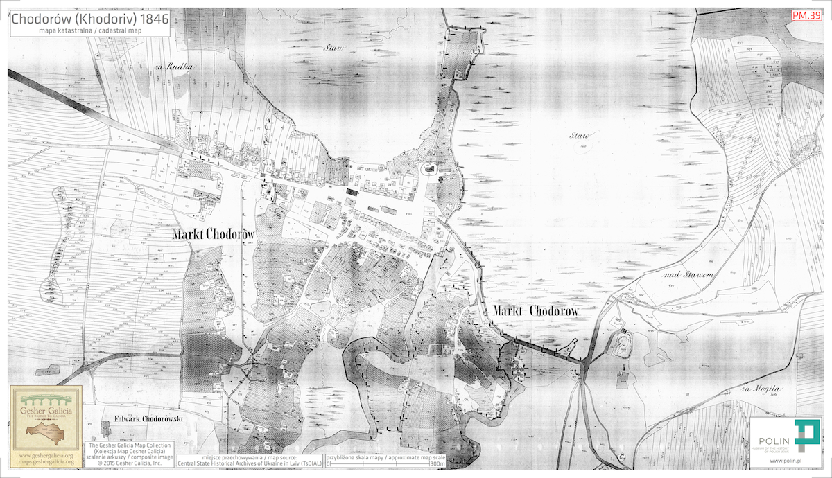
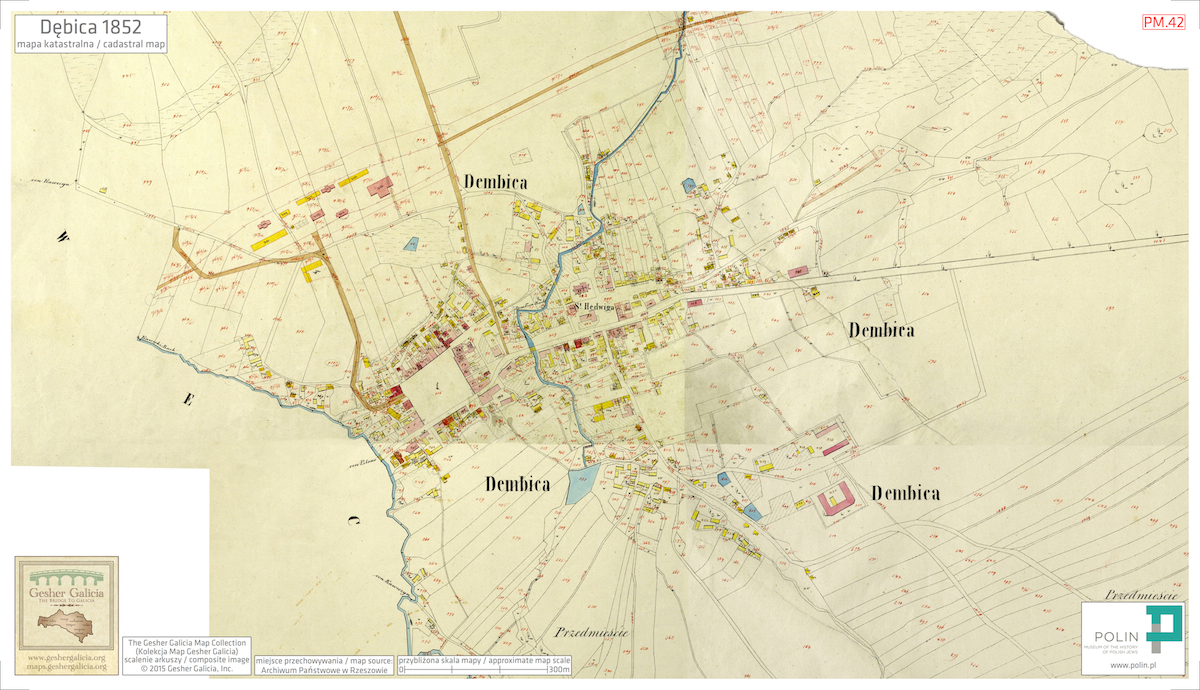
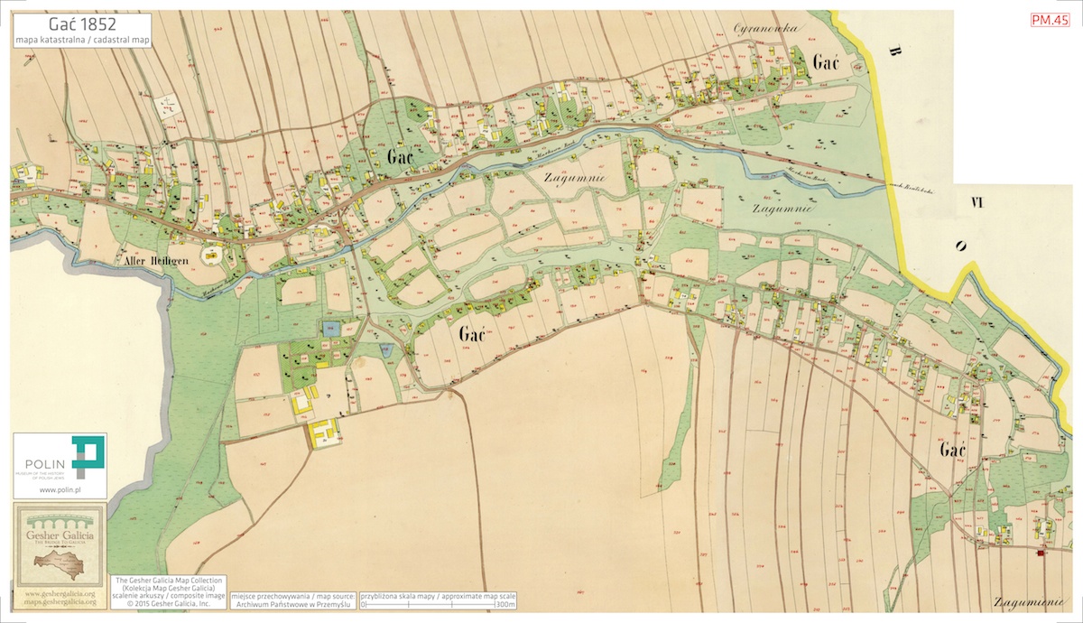
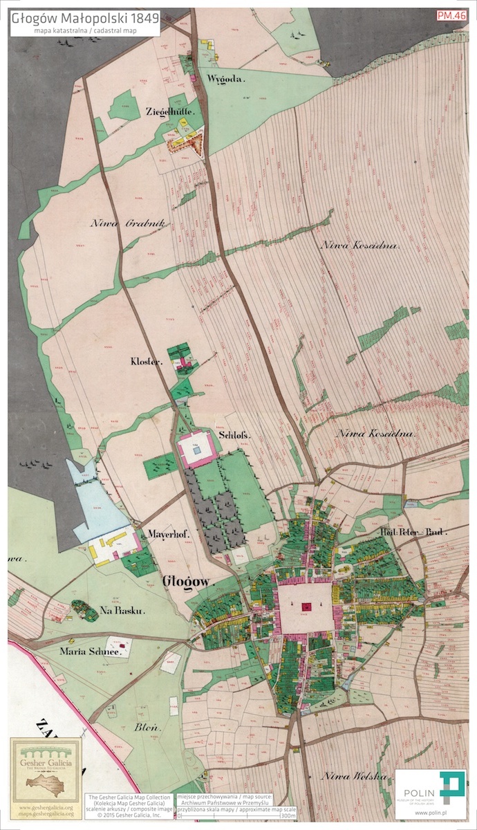
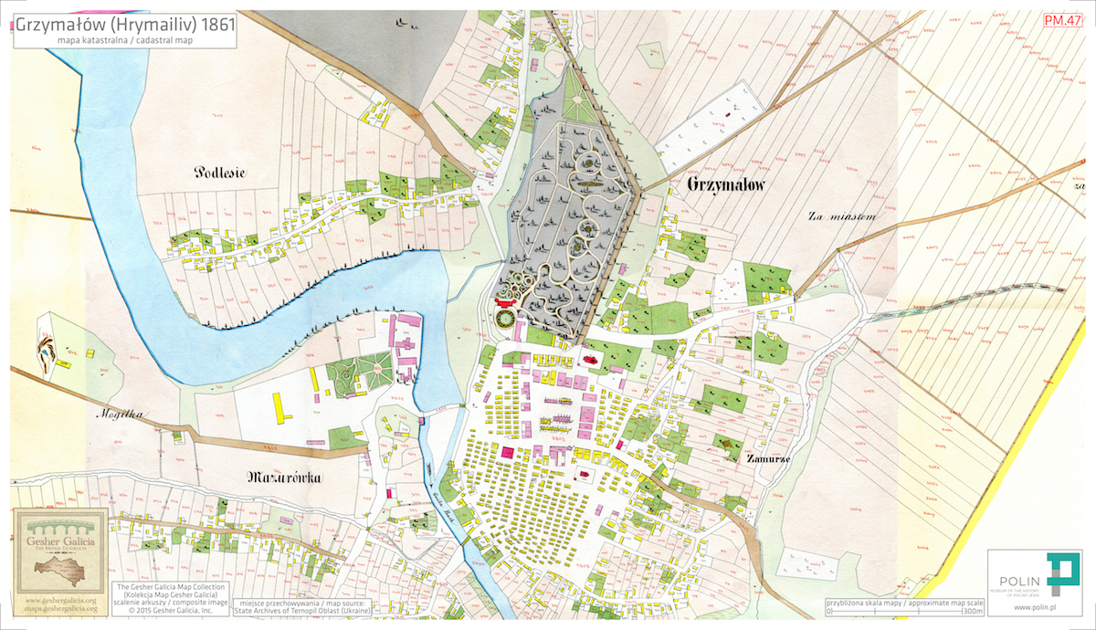
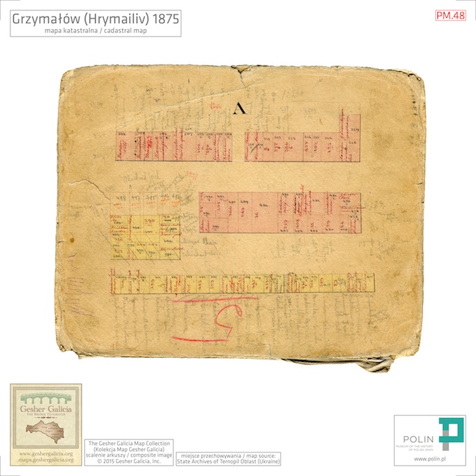
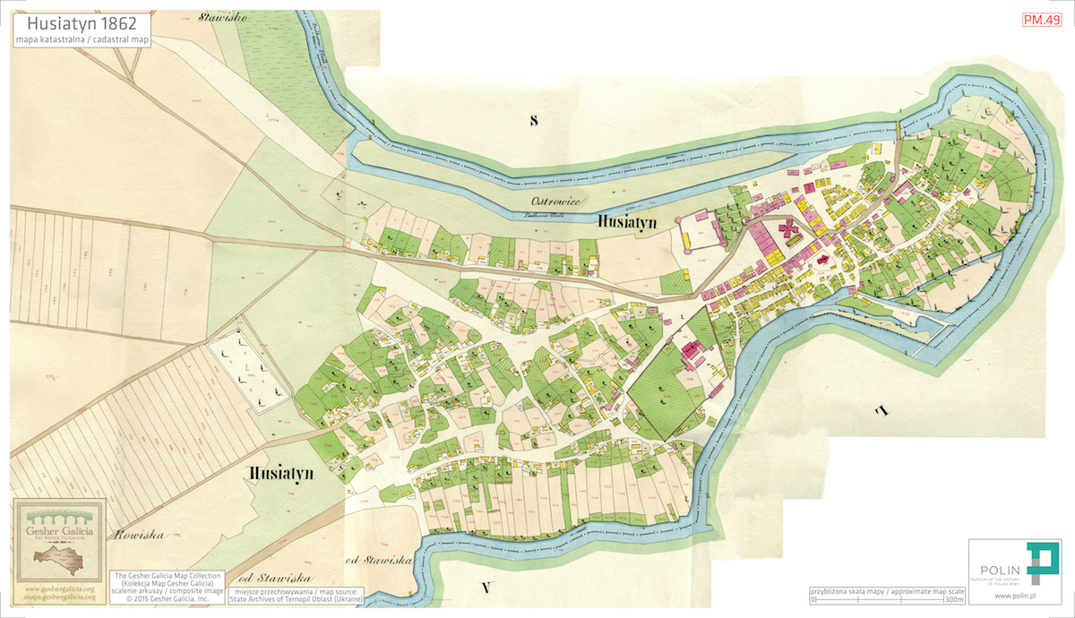
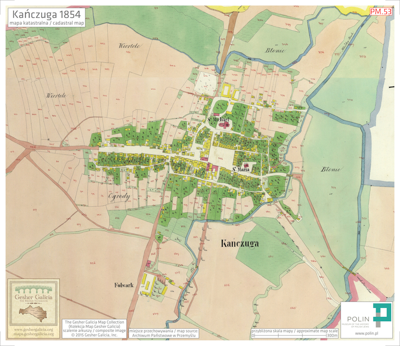
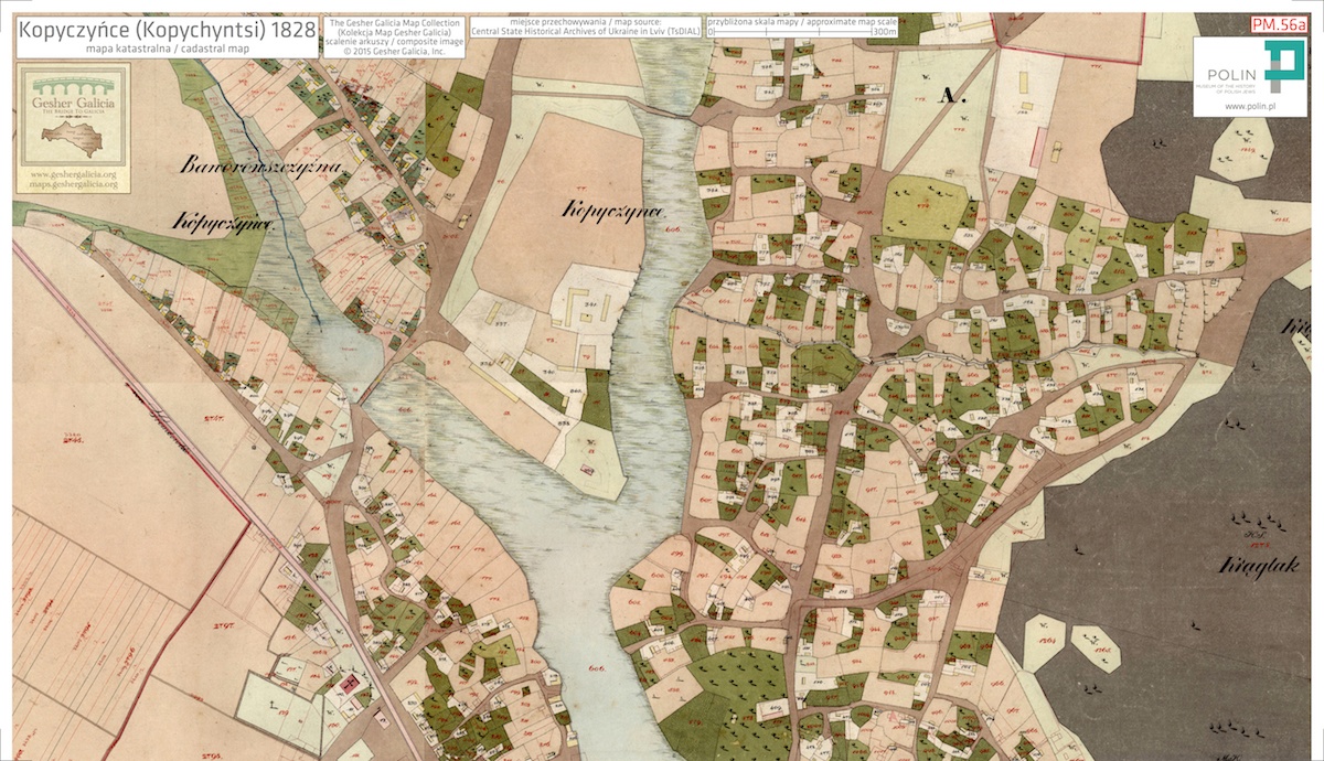
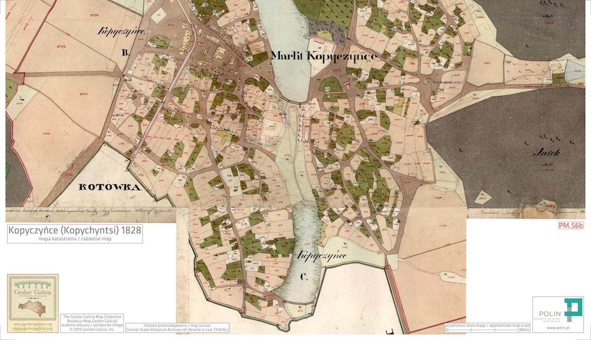
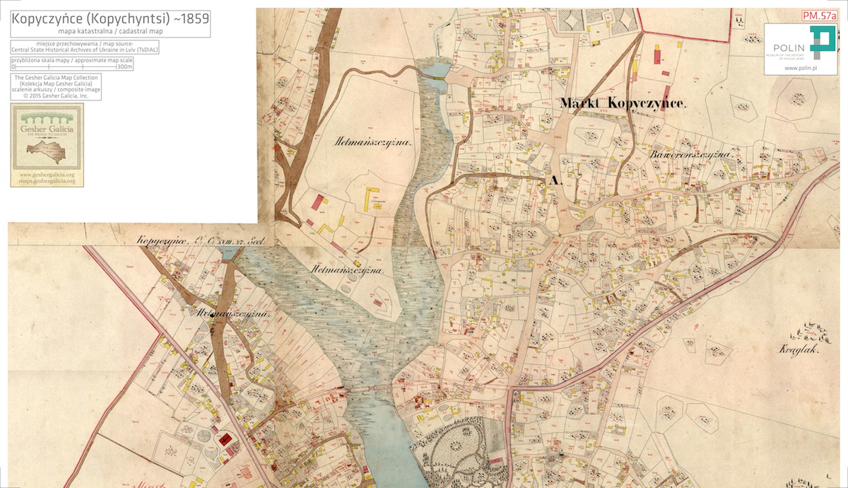
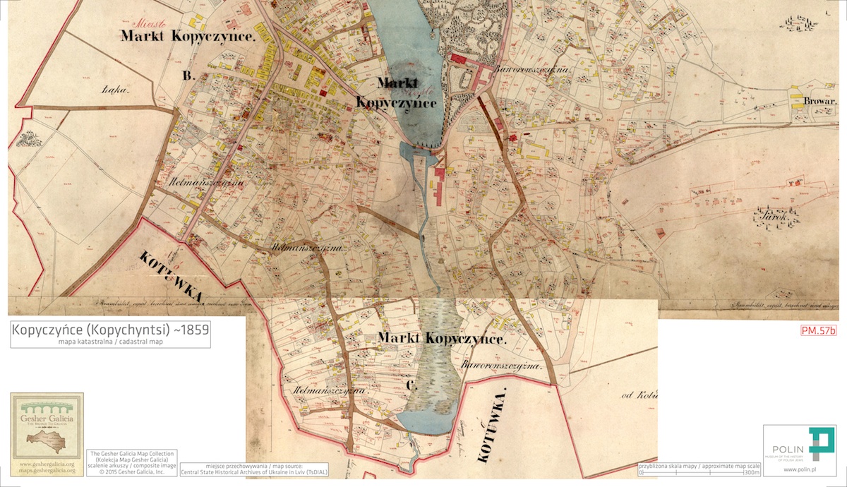
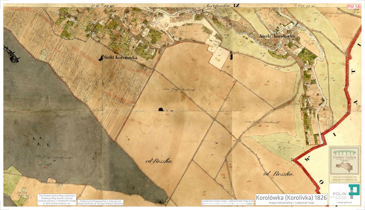
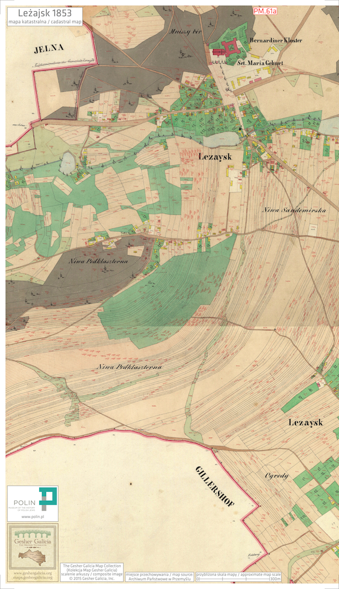
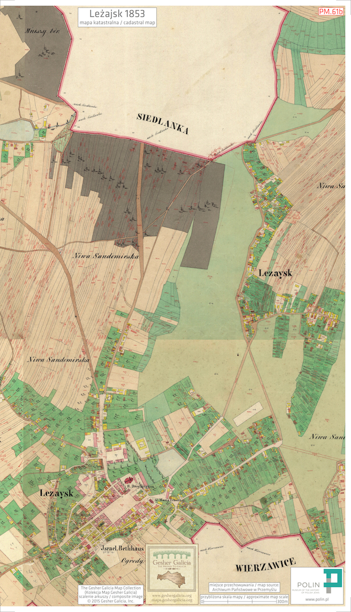
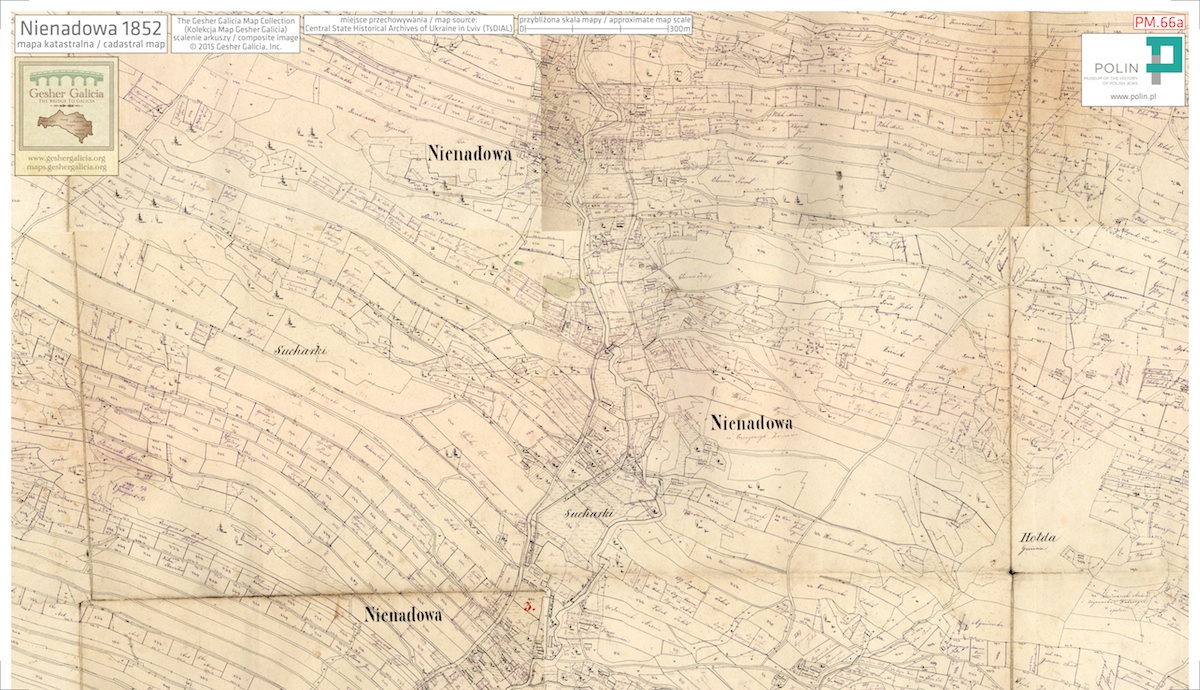
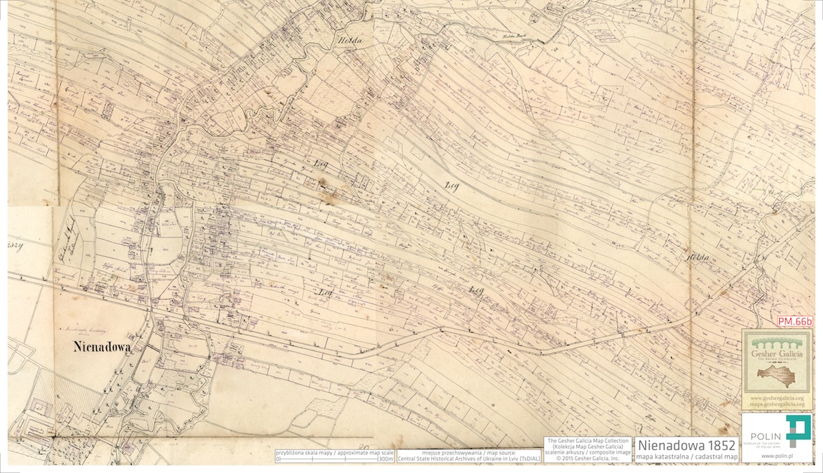
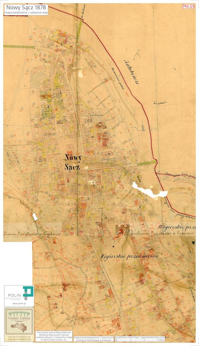
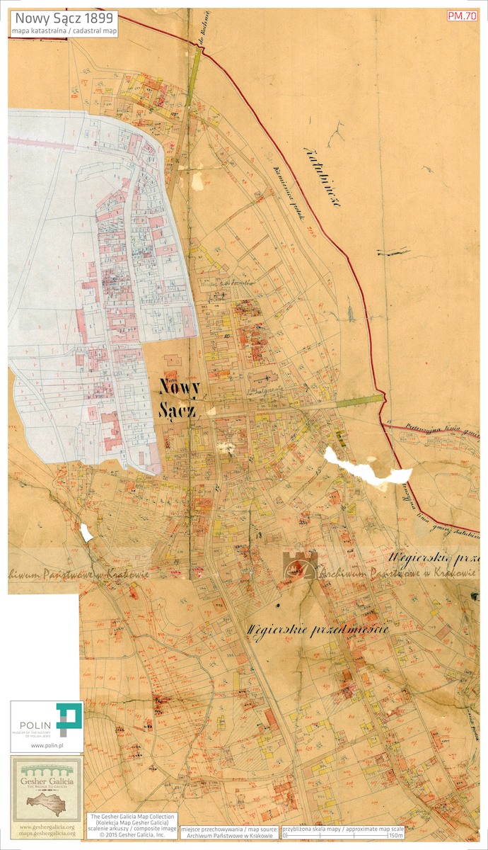
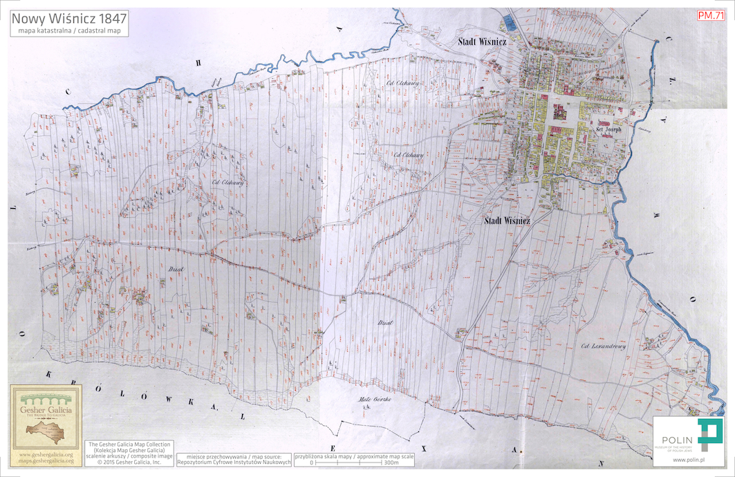
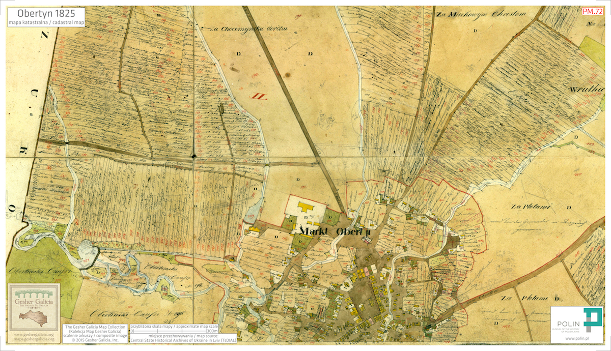
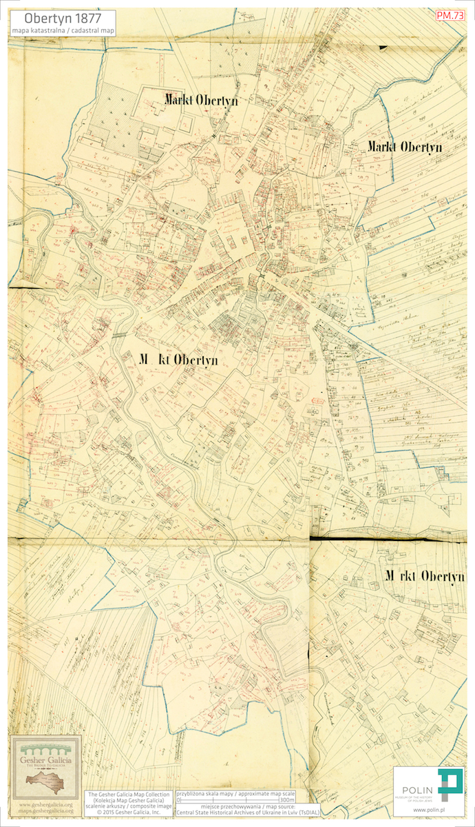
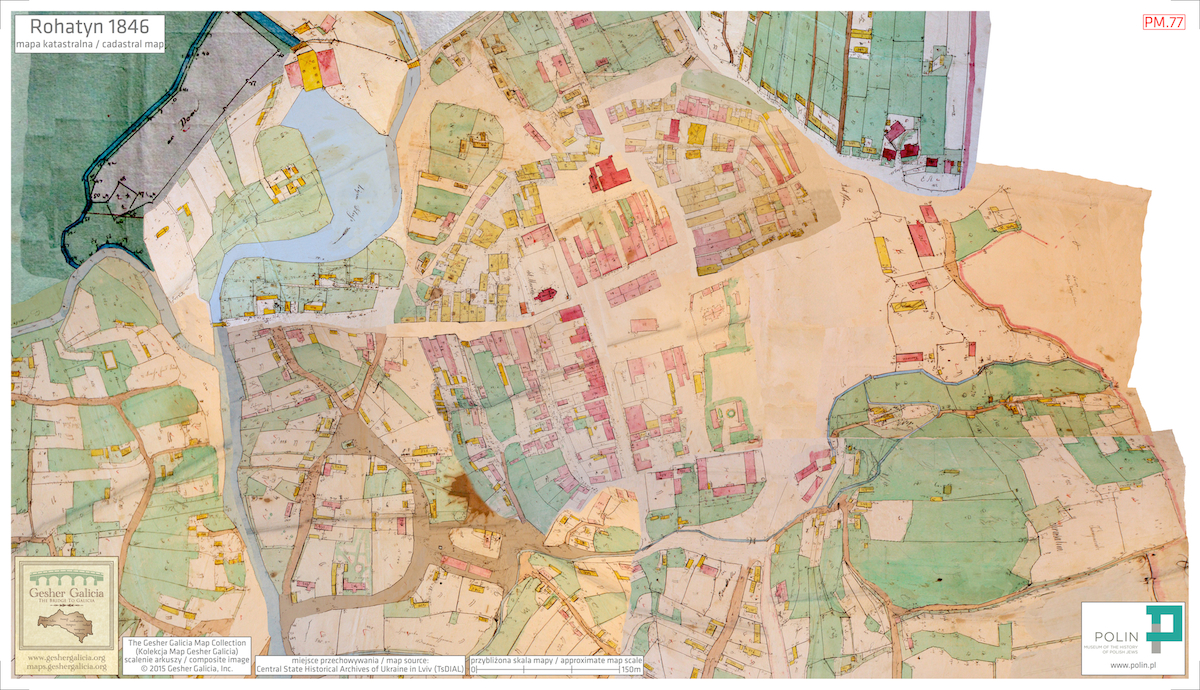
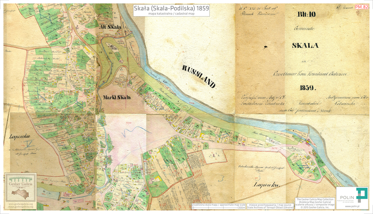
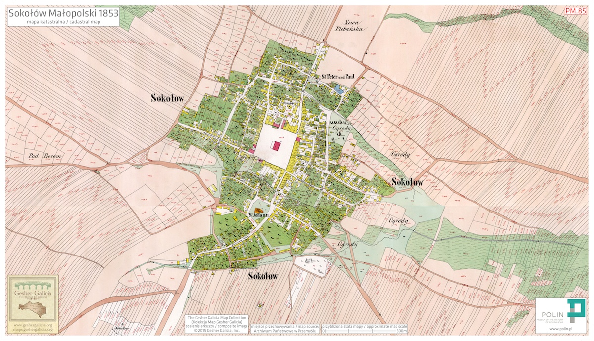
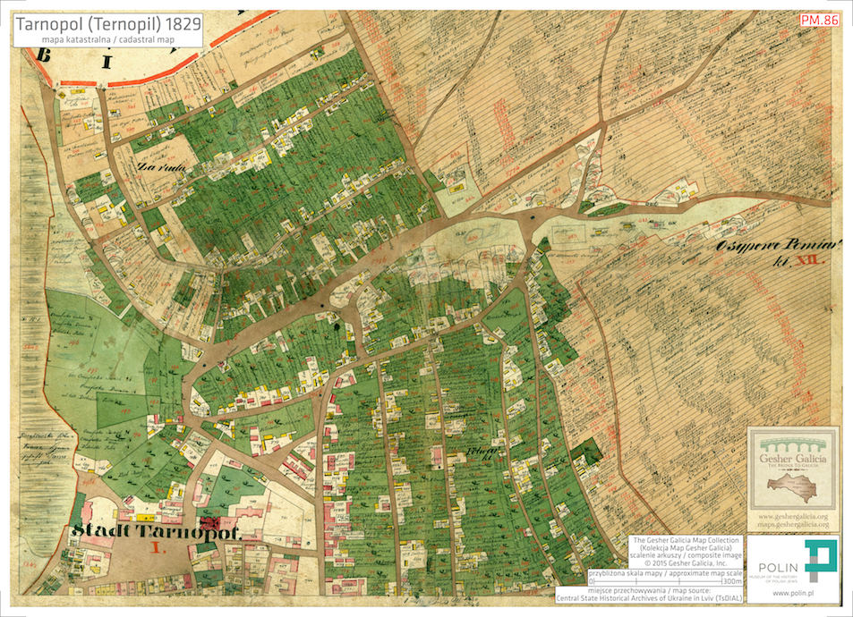
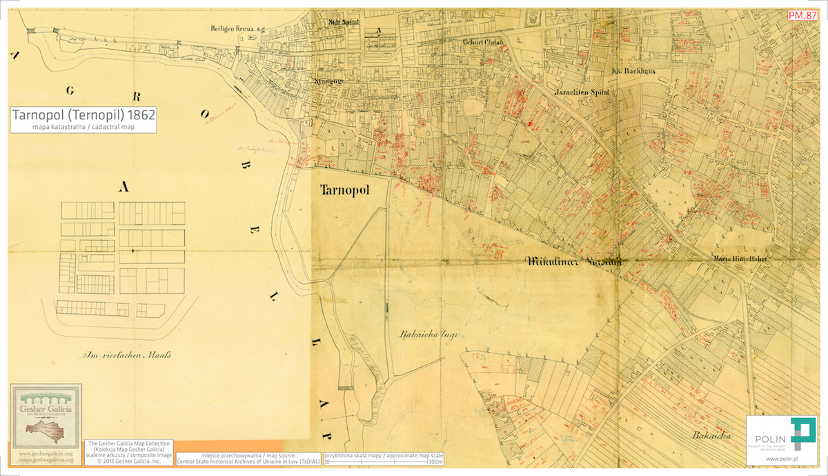
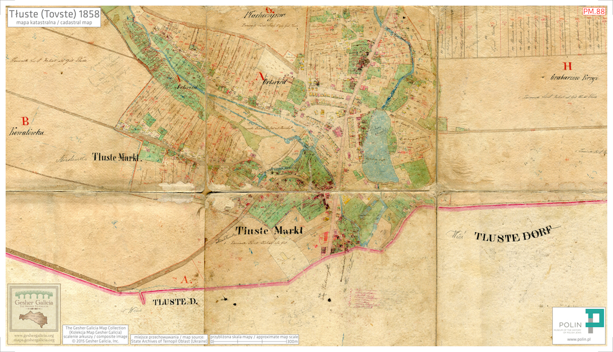
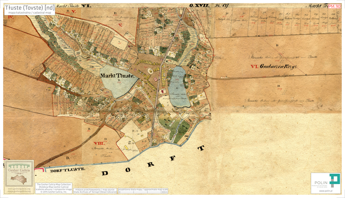
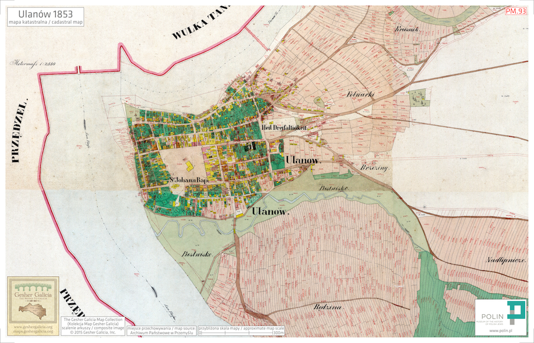
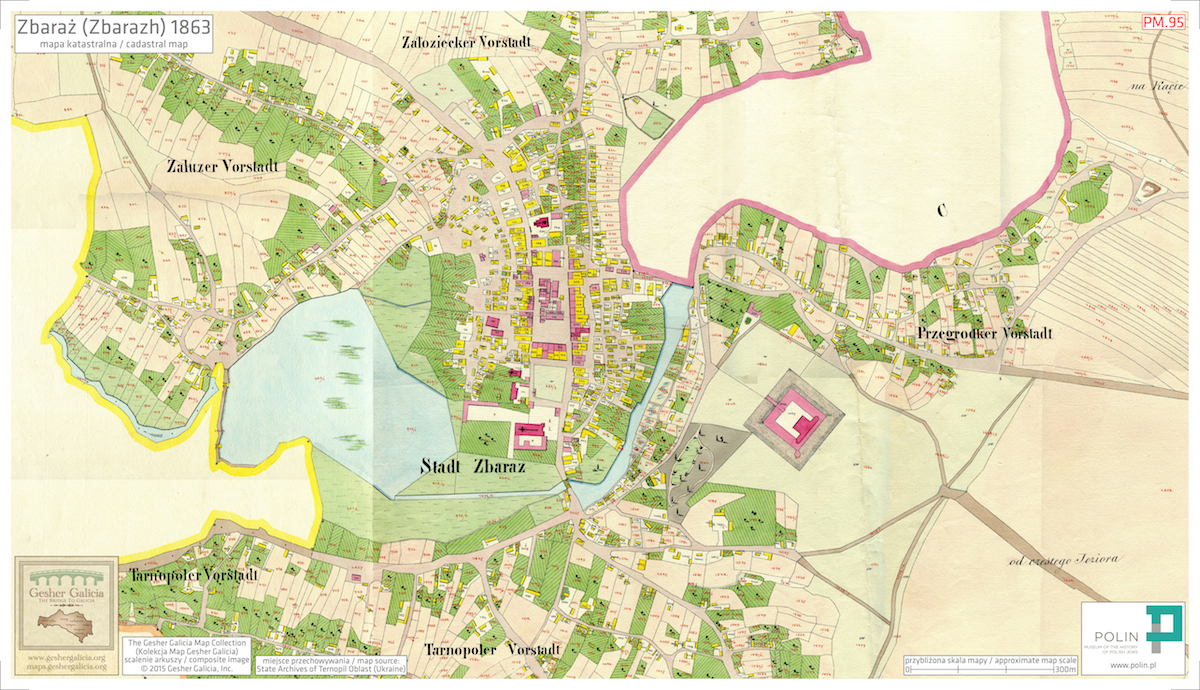
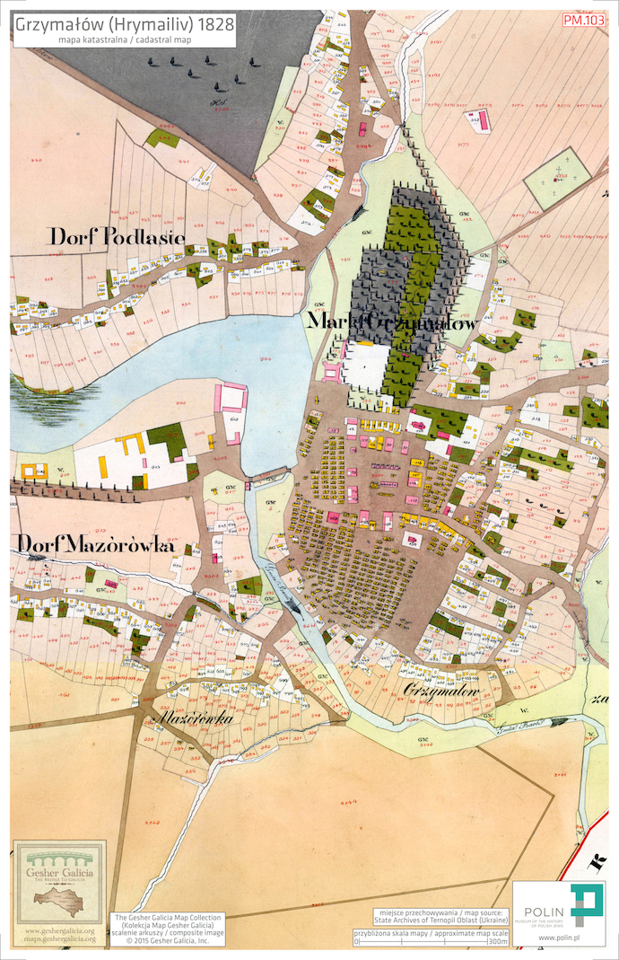
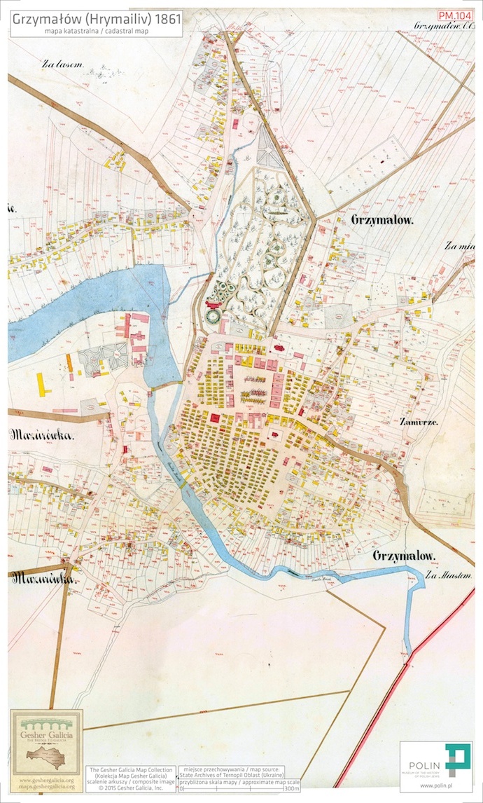
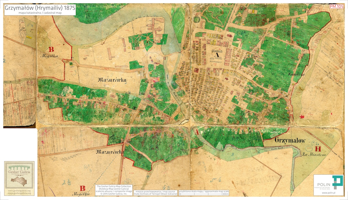
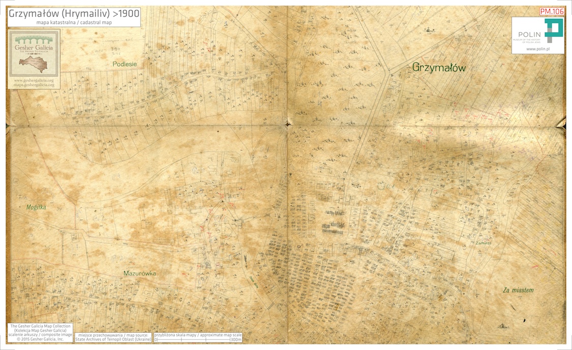
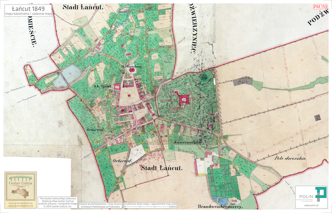
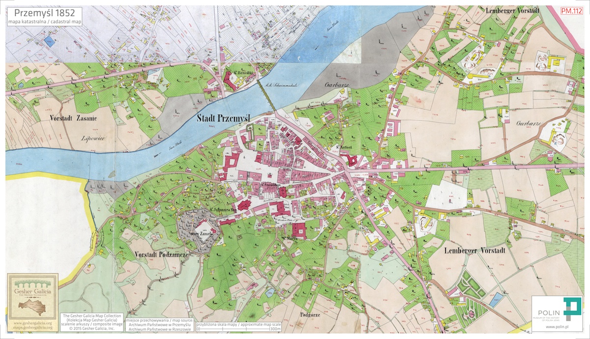
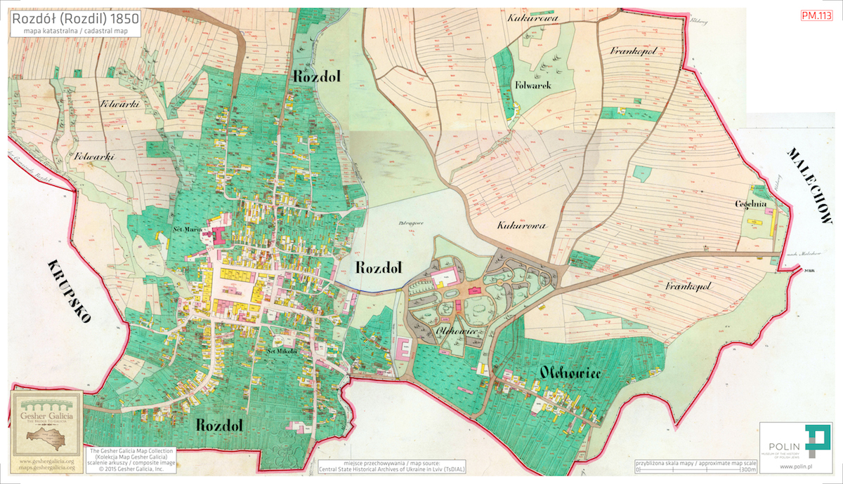
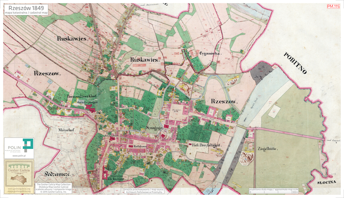
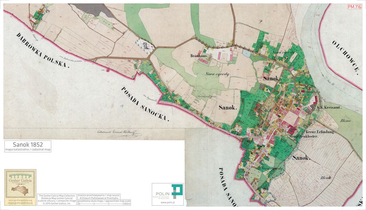
In December 2015, 45 maps printed from image files prepared by Gesher Galicia and produced under the direction of the POLIN Museum were delivered to the Resource Center and are now available for use by Center visitors. The table below documents the current map status, with links to reduced images and to the original web-ready versions on the Gesher Galicia Map Room.

Phase 2 Planning:

The second phase of the project is now in planning. During 2016, an additional 50 map images will be prepared by Gesher Galicia for printing by the POLIN Resource Center. The selected maps and their images will be included in the table below when the initial work is complete.


The POLIN Resource Center Map Series
SygnaturaMap Town and YearStatusMap Image
PM.28 Bełz (Belz) [nd]
PM.29 Białoboki 1852 Map Delivered
PM.30 Bohorodczany (Bohorodchany) 1878 Map Delivered
PM.31 Bolechów (Bolekhiv) 1878
PM.32 Bołszowce (Bilshivtsi) 1846
PM.33 Borysław (Boryslav) [nd]
PM.34 Brody 1844
PM.35 Brzeżany (Berezhany) 1846 Map Delivered
PM.36 Bukaczowce (Bukachivtsi) 1848
PM.37a Bukaczowce (Bukachivtsi) 1853 Map Delivered
PM.37b Bukaczowce (Bukachivtsi) 1853 Map Delivered
PM.38 Chodakówka 1849
PM.39 Chodorów (Khodoriv) 1846 Map Delivered
PM.40 Czortków (Chortkiv) 1859
PM.41 Dębica 1849
PM.42 Dębica 1852 Map Delivered
PM.43 Dobromil (Dobromyl) 1852
PM.44 Drohobycz (Drohobych) 1853
PM.45 Gać 1852 Map Delivered
PM.46 Głogów Małopolski 1849 Map Delivered
PM.47 Grzymałów (Hrymailiv) 1861 Map Delivered
PM.48 Grzymałów (Hrymailiv) 1875 Map Delivered
PM.49 Husiatyn 1862 Map Delivered
PM.50 Jarosław ~1852
PM.51 Jodłowa 1850
PM.52 Kałusz (Kalush) [nd]
PM.53 Kańczuga 1854 Map Delivered
PM.54 Kolbuszowa 1854
PM.55 Komarno 1853
PM.56a Kopyczyńce (Kopychyntsi) 1828 Map Delivered
PM.56b Kopyczyńce (Kopychyntsi) 1828 Map Delivered
PM.57a Kopyczyńce (Kopychyntsi) ~1859 Map Delivered
PM.57b Kopyczyńce (Kopychyntsi) ~1859 Map Delivered
PM.58 Korolówka (Korolivka) 1826 Map Delivered
PM.59 Krosienko (Krosienko) 1894
PM.60 Krosienko (Krosienko) ~1850
PM.61a Leżajsk 1853 Map Delivered
PM.61b Leżajsk 1853 Map Delivered
PM.62 Łopuszka Mała 1851
PM.63 Lwów (Lviv, Lemberg) 1849
PM.64 Mikulińce (Mykulyntsi) 1861
PM.65 Nadwórna (Nadvirna) 1847
PM.66a Nienadowa 1852 Map Delivered
PM.66b Nienadowa 1852 Map Delivered
PM.67 Nienadowa 1852
PM.68 Nisko 1853
PM.69 Nowy Sącz 1878 Map Delivered
PM.70 Nowy Sącz 1899 Map Delivered
PM.71 Nowy Wiśnicz 1847 Map Delivered
PM.72 Obertyn 1825 Map Delivered
PM.73 Obertyn 1877 Map Delivered
PM.74 Obertyn ~1825
PM.75 Podhajce (Pidhaitsi) 1846
PM.76 Połupanówka (Polupanivka)
PM.77 Rohatyn 1846 Map Delivered
PM.78 Romanowe Sioło (Romanivka) 1862
PM.79 Ropczyce 1849
PM.80 Rudawka (Rudavka) 1853
PM.81 Rudawka 1852
PM.82 Skała (Skala-Podilska) 1859 Map Delivered
PM.83 Skała (Skala-Podilska) 1859
PM.84 Skała (Skala-Podilska) 1862
PM.85 Sokołów Małopolski 1853 Map Delivered
PM.86 Tarnopol (Ternopil) 1829 Map Delivered
PM.87 Tarnopol (Ternopil) 1862 Map Delivered
PM.88 Tłuste (Tovste) 1858 Map Delivered
PM.89 Tłuste (Tovste) 1899
PM.90 Tłuste (Tovste) [nd] Map Delivered
PM.91 Tłuste (Tovste) [nd]
PM.92 Trzcieniec (Tshchenets) 1852
PM.93 Ulanów 1853 Map Delivered
PM.94 Uścieczko (Ustechko) 1860
PM.95 Zbaraż (Zbarazh) 1863 Map Delivered
PM.96 Zborów (Zboriv) ~1830
PM.97 Żurawno (Zhuravno) 1848
PM.98 Żurów (Zhuriv) 1848
PM.99 Żurów (Zhuriv) 1848
PM.100 Żurów (Zhuriv) 1876
PM.101 Delatyn (Deliatyn) 1847
PM.102 Dora 1847
PM.103 Grzymałów (Hrymailiv) 1828 Map Delivered
PM.104 Grzymałów (Hrymailiv) 1861 Map Delivered
PM.105 Grzymałów (Hrymailiv) 1875 Map Delivered
PM.106 Grzymałów (Hrymailiv) [nd] Map Delivered
PM.107 Knihynicze (Kniahynychi) 1876
PM.108 Korołówka (Korolivka) 1826
PM.109 Lachowce (Pidhiria) 1848
PM.110 Łańcut 1849 Map Delivered
PM.111 Mikołajów (Mykolaiv) 1888
PM.112 Przemyśl 1852 Map Delivered
PM.113 Rozdół (Rozdil) 1850 Map Delivered
PM.114 Rożniatów (Rozhniativ) 1851
PM.115 Rzeszów 1849 Map Delivered
PM.116 Sanok 1852 Map Delivered
PM.117 Siedleczka 1851
PM.118 Śliwnica 1852
PM.119 Śliwnica (Slyvnytsia) 1853
PM.120 Sokal 1854
PM.121 Ustrzyki Dolne 1852

Updated 21Dec2015. All images copyright © 2015 Gesher Galicia, Inc. For additional information about related maps and projects, see The Gesher Galicia Map Room and The Polin Museum Resource Center.